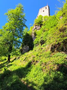
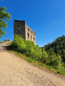
The half-marathon and marathon courses lead through the wonderful Jura landscape of the Schwarzbubenland and the surrounding regions. Highlights such as Hohe Winde, the Passwang, and the Hirnichopf await you on the marathon route, alongside many others. The half-marathon runs through the picturesque Kaltbrunnental and past two castles. We are currently working on the final route layout and will present it to you as soon as possible.
Marathon
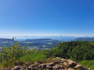
The run starts in Büsserach at 420 m a.s.l. and leads via the Birgel, up to the Welschgätterli, continuing over the Trogberg and the Rotmättli up to the Hohe Winde at 1,204 m a.s.l. There, participants are treated to an impressive view of Basel, the Vosges, the Black Forest, and the Alps. With a bit of luck, you can even spot the peak of the Matterhorn! Afterwards, the varied trail follows the high-altitude path to the Passwang and on to the Vogelberg. A flowing downhill then follows via the Ulmethöchi to the Nunningerberg. From there, a magnificent trail section leads across the Hirnichopf, around the Dürrberg, and on to the Meltingerberg. The final section runs along the ridge to Hof Käsel, past the Mettenberg, and over the Lingenberg to the Thierstein ruins. From there, it is only a few meters to the finish line.
Distance: 43.7 km
Elevation gain/loss: +/- 2077 hm
Cantons: Solothurn, Jura, Basel-Landschaft
Municipalities: Büsserach, Erschwil, Montsevelier (Val Terbi), Beinwil, Mümliswil-Ramiswil, Lauwil, Bretzwil, Nunningen, Zullwil, Meltingen
The Marathon route as GPX-file
Cantons: Solothurn, Jura, Basel-Landschaft
Municipalities: Büsserach, Erschwil, Montsevelier (Val Terbi), Beinwil, Mümliswil-Ramiswil, Lauwil, Bretzwil, Nunningen, Zullwil, Meltingen
The Marathon route as GPX-file
Categories Marathon
| Category | Years of birth |
| HK M / HK F | 1988 – 2009 |
| M40 / F40 | 1978 – 1987 |
| M50 / F50 | 1968 – 1977 |
| M60 / F60 | 1967 or older |
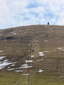
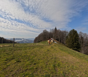
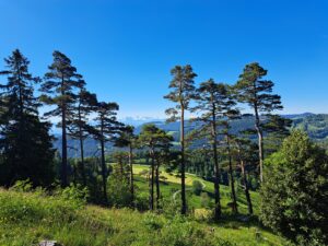
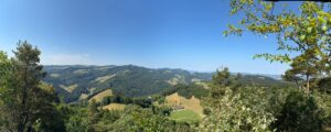
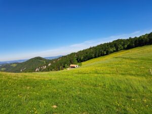
Impressions Marathoncourse





Halfmarathon
The half marathon leads via Breitenbach into the upper Chaltbrunnental. From there, it goes up through the wildly romantic valley to the Meltingerbrücke, passing Zullwil and Nunningen towards the historic Gilgenberg Castle. The trail then continues up to the Meltingerberg. The final section, same as the marathon, runs along the ridge to Hof Käsel, past the Mettenberg, and over the Lingenberg to the Thierstein ruins. From there, it is only a few meters to the finish line.
Distance: 23.1 km
Distance: 23.1 km
Elevation loss/gain: +/- 966 hm
Cantons: Solothurn, Basel-Landschaft
Municipalities: Büsserach, Breitenbach, Brislach, Himmelried, Zullwil, Meltingen, Fehren
Cantons: Solothurn, Basel-Landschaft
Municipalities: Büsserach, Breitenbach, Brislach, Himmelried, Zullwil, Meltingen, Fehren
The Halfmarathon route as GPX-File
Categories
| Category | Years of birth |
| MU23 / WU23 | 2005 – 2011 |
| HK M / HK F | 1988 – 2004 |
| M40 / F40 | 1978 – 1987 |
| M50 / F50 | 1977 – 1968 |
| M60 / F60 | 1967 or older |